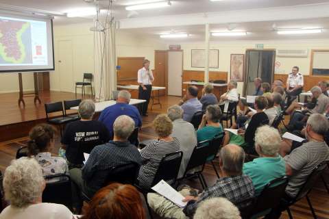
A large group of Cove locals attended the RFS Community Meeting held at the hall on Wednesday 26th February. Sarah Kemble of the RFS gave a presentation:
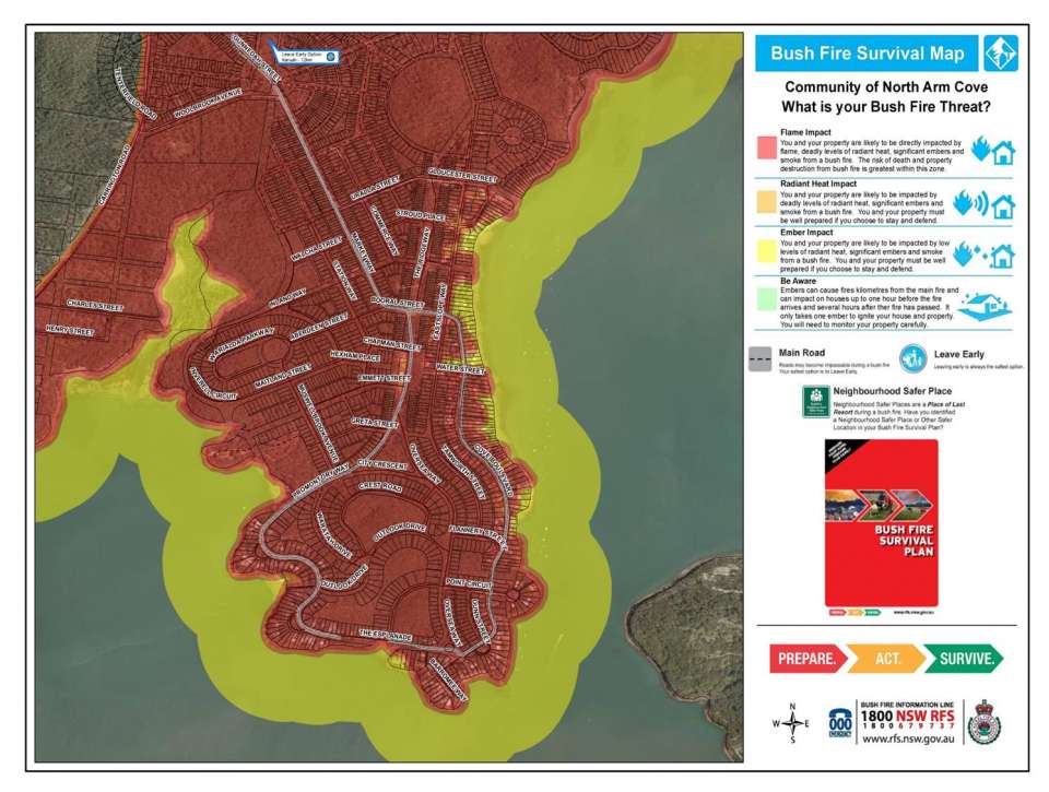
Community Protection Plans (CCPS) are being developed to improve the capacity of communities and fire-fighters preparing for and surviving bushfires. CPPS consist of 3-maps: a preparation map, a survival map and an operation map for the RFS Brigade. Most of the Cove Village area is in the Flame Impact area. Being on a peninsular we have a single road exit. Our nearest "neighbourhood safer place" (NSP) is in Karuah - but this may not be accessible. The possibility of a village NSP is being investigated but this is a challenge give the nature of the area. Hazard reductions are planned but weather conditions often mean they are delayed.
Residents should plan to leave early for the day if the Fire Risk has been rated, for example, as severe or extreme. We also need a plan B to cope with circumstances in which we are unable to leave. Planning to make a plan is not a plan.
Following Sarah's presentation there was considerable debate about the issues, the risks and possible solutions. Topics covered included whether water evacuation is possible, fire trails and private roads for RFS use only during a fire, a cleared section surrounding the outskirts of the village and the problems associated with power and communication outages.